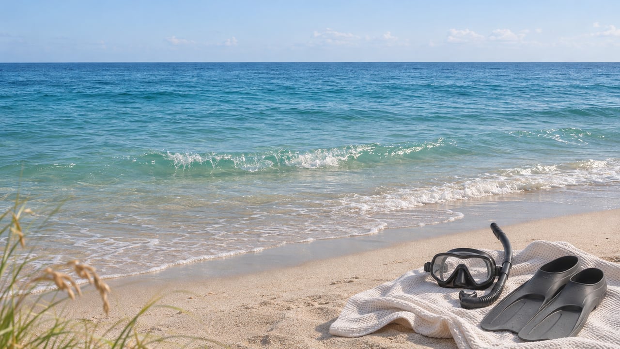
At the east end of Datura Avenue, where it meets El Mar Drive, the Town of Lauderdale-by-the-Sea keeps a tank rack and a bench for divers. The meters there take the PayByPhone app, and the water starts a few steps past the sand. The town's own description of what lies beyond that sand is short: three coral reefs within 100 yards of the beach.
Those reefs sit at different depths, and each one is farther out than the last. From the same beach you can reach a replica shipwreck in about 10 feet of water, then a coral line at 12 to 20 feet, then an outer ledge at 30 to 50 feet. A Victorian-era steamship lies under a mile out, and you get there by boat. Gold Coast Scuba, the shop at 259 Commercial Boulevard, puts the living reef 100 to 400 feet from the beach in its Lauderdale-by-the-Sea reef guide. That short distance is why the town calls itself the shore dive capital of South Florida. The real question for a resident with a mask and fins is which step to aim for, and which street end gets you there this season.
Ten Feet: The Shipwreck Snorkel Trail Off Datura
The first step is a man-made site. The Shipwreck Snorkel Trail, off Datura Avenue, was built by the Marine Archaeological Council to mark Broward County's maritime history. Explorer Jean-Michel Cousteau dedicated it in 2002. On the bottom are an anchor, five concrete cannons and a ballast pile, laid out to look like an early 1800s wreck. Gold Coast Scuba says arrow crabs and scorpionfish live among the pieces.
The town's tourism page puts the trail in 10 feet of water. Gold Coast Scuba gives 8 to 10 feet. Either way, a snorkeler floating at the surface sees the cannons clearly, and a new diver can sink to the sand without thinking about depth. It works for a first snorkel with a visiting nephew, a check-out swim for gear you haven't used since spring, or a 30-minute loop before work.
The Town lists a second marked route, the Anglin's Pier Reef Snorkel Trail, also in about 10 feet of water. The town posts the trail's underwater guide as a downloadable sign, along with a dive site map and a beach diving sheet. The guide is worth a look before you go in.
Twelve to Twenty Feet: The First Reef Line
Past the trail, the sand gives way to the first natural reef line, 12 to 20 feet down, where coral heads rise 3 to 4 feet off the bottom. The Gold Coast Scuba reef guide describes the rock as "Swiss cheese," full of holes that shelter small animals. The shop lists star, brain and finger corals and purple sea fans. For fish it names grunts, snappers, parrotfish, sergeant majors, blennies, juvenile drumfish and trumpetfish. The same guide adds sea turtles grazing, nurse sharks resting under ledges and schools of tarpon. Stingrays, moray eels and octopus show up on luckier days.
From the surface, this is the line where a snorkeler starts holding a breath to drop down for a closer look. For scuba divers, the shallow depth is what sets this beach apart. Gold Coast Scuba says a single tank can last up to 90 minutes here, and visibility often reaches 50 to 70 feet on calm days. That is an hour and a half underwater with no boat to book.
Thirty to Fifty Feet: The Second Reef Line
The second reef line sits at 30 to 50 feet, about a 30-minute swim from the beach. Gold Coast Scuba calls it the more advanced site and says most beginners stay on the first reef. This step is for certified divers who are comfortable with the swim out and the swim back, and who plan the return leg before they kick away from shore.
For anyone who would rather not plan that swim alone, Gold Coast Scuba runs guided shore dives and snorkels and rents full gear, dive flags included. Florida's dive-flag rules are posted on FWC's boating regulations page.
Twenty-Five Feet, by Boat: The SS Copenhagen
The last step is a boat trip. The SS Copenhagen, a 19th-century British steamship, wrecked off this beach in May 1900 and lies less than a mile offshore in 25 feet of water. Florida made the wreck an Underwater Archaeological Preserve in 1994, and it was added to the National Register of Historic Places in 2001. The town's tourism page estimates about 10,000 visitors a year and calls it the most popular underwater preserve in Florida.
The wreck sits deeper than the first reef line and shallower than the second. The difference is distance, and that makes it a boat trip. Underwater maps of the wreck are available at the town's dive shops, Town Hall and the Chamber of Commerce. A resident who has worked through the shore sites can pick one up before booking a charter.
Which Street End to Use This Winter
Every step above starts from one of three entries on El Mar Drive, and the closed pier makes the choice matter more this season.
Anglin's Pier has been closed since part of it fell into the ocean during Hurricane Nicole in November 2022. The pier is privately owned. In August 2025, the New Pelican reported that the town had closed the beach one block north and one block south of the pier to swimmers and fishermen. The town's diving and snorkeling page places Datura Avenue "just south of Anglin's Fishing Pier," which puts the most popular entry closest to the closed structure. Our earlier post on why the pier can't simply be fixed covers the background.
The other two entries are farther from the pier. Gold Coast Scuba describes Hibiscus Avenue at El Mar Drive as a quieter entry with metered parking and a short swim to the first reef. El Prado Park, in the 4500 block of El Mar Drive north of Commercial Boulevard, has more parking and leads to the northern reef sections. The shop's advice for any of the three is to arrive early, because the spaces closest to the water fill first.
The water stays warm well into winter. NOAA's coastal water temperature guide gives a November average of 79.1°F at the Lake Worth Pier station in Palm Beach County, falling to a January average of 74.5°F. Those are regional monthly averages, not readings off El Mar Drive. They still put the coldest month less than five degrees below the one we're in now, so a thin wetsuit or a rash guard covers most of the season. Gold Coast Scuba's 50 to 70 feet of visibility comes with its own condition, "on calm days," so check the surf before you load the car.
For a first outing of the season, the order is simple. Enter at Hibiscus or El Prado, swim the first reef line in 12 to 20 feet, and save the Datura trail for a later visit once you have checked the town's latest update on the pier. The second reef line and the Copenhagen can wait until the gear and the legs are ready for them.
Living a few blocks from a shore dive is a big part of why people choose Lauderdale-by-the-Sea, and it's something we discuss with buyers looking at homes and condos along El Mar Drive and its side streets. If you'd like to talk about places within walking distance of Datura, Hibiscus or El Prado Park, or about the town's walkable beach-town feel more broadly, Mari Juliette Real Estate is happy to help. Contact us.